Himalayan glacial lakes are growing, raising flood risk downstream
More than 388 recorded glacial lake outburst floods and an accelerating expansion of lakes across the Himalaya-Karakoram are pushing India and neighbouring countries to build risk rankings and warning systems faster than the lakes themselves are changing.
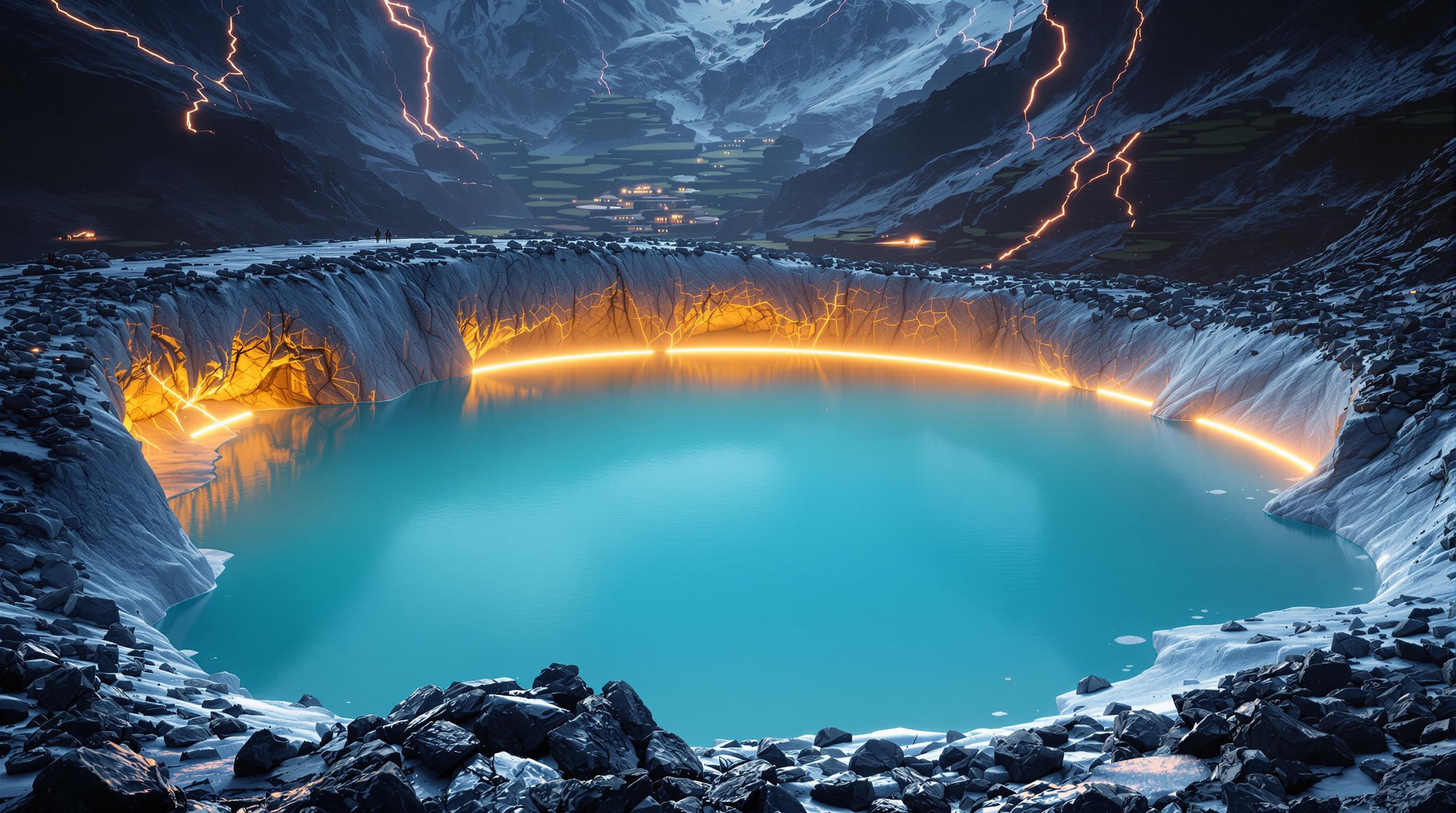
Lakes forming where ice used to be
As glaciers in the Himalaya-Karakoram region retreat under climate warming, the hollows they leave behind are filling with meltwater, creating and enlarging glacial lakes across the mountains. The region has warmed at 0.15°C to 0.60°C per decade, well above the global average rate of 0.74°C per century, and projections suggest a further rise of 2.5°C to 5°C by the end of the century in high-altitude zones, according to the review in Nature. Since 1990, the number, area, and volume of glacial lakes worldwide have grown by 53%, 51%, and 48% respectively, and the same source notes that glaciers ending in lakes retreat faster than glaciers ending on land, which speeds up both processes together.
India's most detailed inventory, compiled by the National Remote Sensing Centre using satellite imagery mostly from 2016-17, mapped 28,043 glacial lakes of at least 0.25 hectares across Himalayan river basins, according to Frontline. Of those, 7,570 lie within India and 20,473 sit in the transboundary portions of the same river basins outside the country. A separate look back at satellite archives from 1984 to 2023 found that, of 2,431 lakes larger than 10 hectares identified in the 2016-17 survey, 676 had expanded significantly since 1984; 130 of those are in India. One example cited by Frontline is Ghepang Ghat in Himachal Pradesh, whose surface area grew from 36.49 hectares in 1989 to 101.30 hectares in 2022, a rise of about 178%.
Sources 1, 4
Why some lakes fail catastrophically
A glacial lake outburst flood, or GLOF, is a sudden release of water from a lake fed by a glacier, and it can happen at the lake's edge, its front, beneath it, or on its surface. The Nature review counts more than 388 documented GLOF events in the Himalaya-Karakoram region, most from lakes dammed by glacial debris (moraine) or by ice, with the highest frequency in the Karakoram followed by the Central and Eastern Himalaya. Ice avalanches and extreme rainfall are the most common triggers. A study cited in the Cambridge Core paper found that 47% of past GLOF events originated from moraine-dammed lakes specifically.
Frontline explains that a moraine, a natural pile of rock, gravel, and sediment left behind by a retreating glacier, can act like a dam holding back a lake, but not one that was engineered for the purpose. Failure can come gradually, as flowing water erodes the moraine or buried ice within it melts, or suddenly, when an avalanche, landslide, or falling glacier ice sends a wave over the top of the barrier. Once water starts cutting through the loose material, the opening can widen quickly, releasing far more water than the initial overtopping wave. Frontline also notes that permafrost, ground that stays frozen for at least two years running, helps bind high mountain slopes together, and its thawing under continued warming can undermine that stability.
Sources 1, 3, 4
South Lhonak: how a disaster builds up in stages
The clearest recent illustration of these cascading failures is the outburst of South Lhonak Lake in Sikkim on the night of October 3, 2023, which killed 178 people and damaged three hydropower projects, according to the Cambridge Core paper. A study published in Science and led by Ashim Sattar of IIT Bhubaneswar, involving 34 researchers from nine countries, reconstructed the sequence: about 14.7 million cubic metres of frozen lateral moraine collapsed into the lake, producing a wave roughly 20 metres high that overtopped and breached the frontal moraine, according to Frontline. That breach released about 50 million cubic metres of lake water, which then scoured downstream and eroded roughly 270 million cubic metres of additional sediment, greatly increasing the destructive mass moving through the valley.
The slope that eventually collapsed had been moving for years beforehand, reaching a peak speed of 15 metres a year between 2016 and 2023, per the same account. Kristen Cook, a co-author of the study, said that anticipating future GLOFs requires understanding cascading hazards like landslides and sediment mobilization, as reported by Frontline. Christian Huggel of the University of Zurich, also cited by Frontline, said the thawing of permafrost and the instability of rock, ice, and moraine structures pose major risks. Sattar has since said the disaster showed the urgency of early-warning systems in valleys exposed to glacier hazards.
Sources 3, 4
Turning satellite counts into risk rankings
Counting or mapping lakes is not the same as knowing which ones are dangerous, since two lakes of identical size can pose very different risks depending on what holds the water in, what could fall into it, and what lies downstream, according to Frontline. India's Central Water Commission has built a 12-factor risk-indexing framework that gives 30 of 100 points to downstream vulnerability, including distance to habitation, dams, and bridges, and has applied it to 100 Indian glacial lakes. From 2025 the commission has also monitored 2,843 glacial lakes and other water bodies larger than 10 hectares monthly during the monsoon season; in June 2025, 432 of the 681 monitored lakes within India showed increased water spread compared with the reference used by the commission, prompting a call for closer monitoring. Separately, India's National Disaster Management Authority has compiled a dynamic list of 195 high-risk glacial lakes to guide field expeditions, and the government has approved a 150-crore-rupee National GLOF Risk Mitigation Programme covering Arunachal Pradesh, Himachal Pradesh, Sikkim, and Uttarakhand.
Nearly 73% of the lakes in India's national atlas lie outside Indian territory, in transboundary portions of the same river basins, which Frontline says means India's flood risk cannot be assessed from an India-only map; the commission monitors lakes beyond the country's borders as a result. A 2016 case bears this out: the failure of the Gongbatongsha lake in Tibet's Poiqu basin, after heavy rain contributed to a slope failure above it, crossed into Nepal and damaged the Arniko Highway, buildings, and a hydropower plant, with peak discharge increasing downstream as the flow picked up river water and stored sediment. Modelling of worst-case avalanche-triggered scenarios in the same transboundary area found that flood waves could reach the town of Nyalam in 6 to 11 minutes and the Nepal border in roughly 30 minutes, a lead time the researchers said is too short for early warning alone and needs to be paired with land-use zoning and local capacity to act, per Frontline.
Sources 4
What remains uncertain
The Nature review, the Springer paper on Uttarakhand, and the Cambridge Core study on Kashmir all note that different glacial lake inventories are not directly comparable, because they use different minimum mapping thresholds, and that hazard assessments are highly sensitive to which parameters researchers choose to weight. The Cambridge Core paper reports that no GLOF events have been recorded so far in the Kashmir Himalaya specifically, even though the region has 147 glaciers retreating faster than the wider Himalayan arc and 326 rock glaciers pointing to widespread permafrost, both factors that could threaten glacial lake dams under continued warming. The Nature review separately identifies gaps in the research base, including limited assessment of social vulnerability among populations living near glacial lakes, insufficient study of how climate change is altering GLOF frequency, and inadequate attention to mitigation measures such as early warning systems in the region generally.
Frontline also stresses caution around individual events: the disaster near Langtang Lirung on the Nepal-China border generated seismic energy equivalent to a magnitude 5.2 earthquake and travelled nearly 100 kilometres, and has not been established as a glacial lake outburst flood. The U.S. Geological Survey's latest assessment says it remains unclear whether the initial failure was a landslide that incorporated part of a glacier or a glacial collapse. That uncertainty is presented as a reminder that a growing or unstable lake is a screening signal for risk, not a prediction that any specific lake will fail.
Sources 1, 2, 3, 4