Glacier collapse triggers deadly Nepal-Tibet flash flood
A sudden mass failure of ice and rock high in the Himalayas shows how melting glaciers and unstable mountain slopes can combine into disasters that current warning systems cannot catch.
Follows Himalayan glacial lakes are growing, raising flood risk downstream
What happened
A torrent of rocks, mud and water tore through villages along the Nepal-Tibet border on a Wednesday morning, sweeping away homes, roads, bridges and power plants. Death tolls varied across reports as the disaster unfolded: one account put the toll near 350 dead with more than 1,000 missing, another cited at least 469 dead, and a third reported more than 270 killed with over 1,500 missing, including more than 800 foreign tourists. Nepal's foreign minister initially told parliament that an earthquake had triggered a landslide, but the US Geological Survey later said a glacial collapse caused both the flooding and a seismic event, registering as a magnitude of 5.2 or, in another account, 4.4.
The surge entered the Lhende Khola, a tributary that feeds into the Bhote Koshi and then the Trishuli river, carrying water, sediment and boulders downstream. The International Centre for Integrated Mountain Development (ICIMOD), an intergovernmental scientific institution based in Kathmandu, found that water levels in the Trishuli rose by seven to nine metres within about 30 minutes, and several river monitoring stations were washed away or damaged. A survivor described watching a wall of mud rise higher and higher until it swept his wife away as he tried to bring her to safety.
Sources 1, 2, 3, 5
How the collapse unfolded
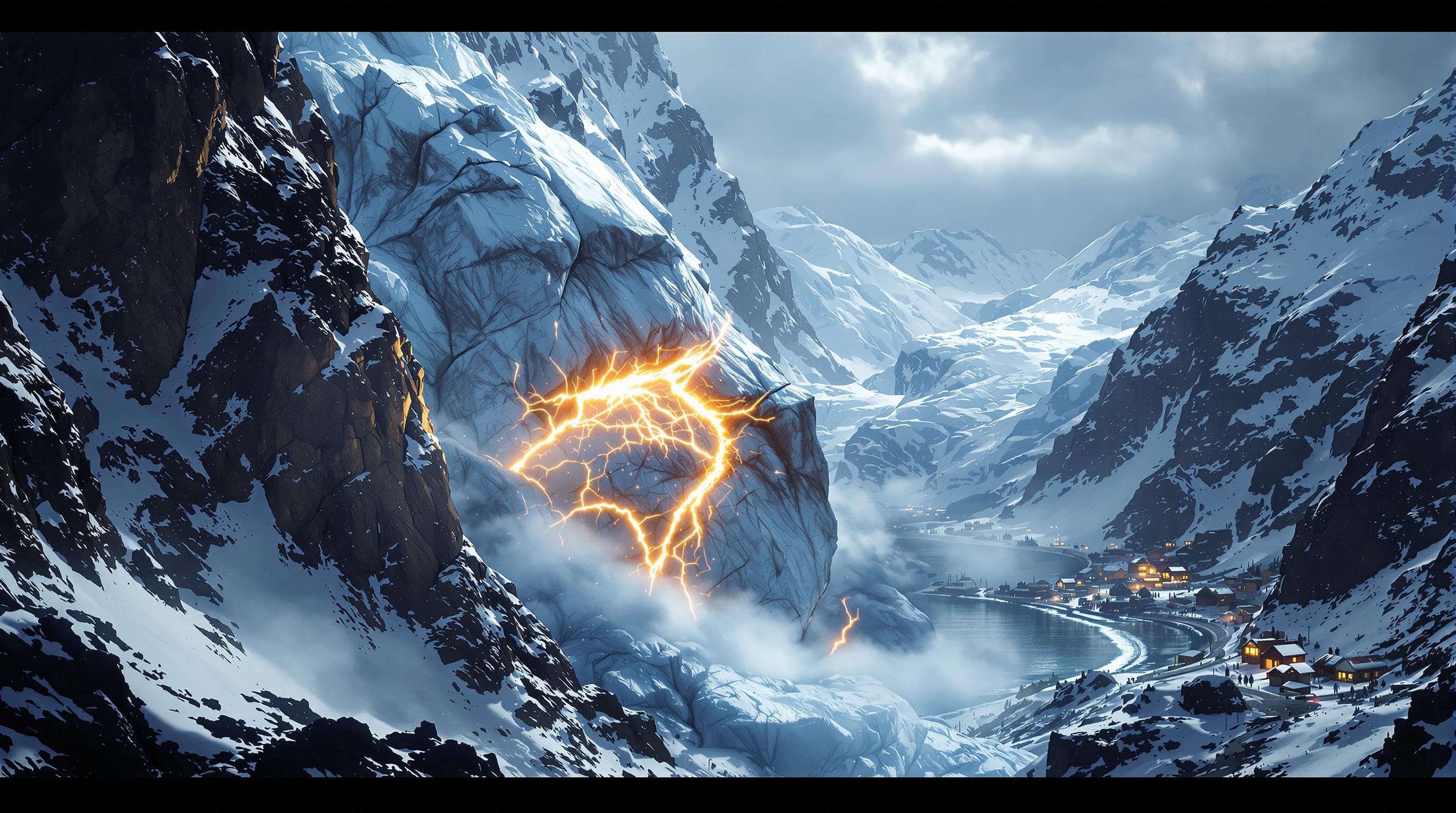
Scientists trace the disaster to the north face of Langtang Lirung, a peak on the Nepal-Tibet border. Satellite analysis by a geomorphologist at the University of Calgary showed that the lower part of a glacier broke off at about 5,200 metres and crashed onto the valley floor roughly 1,200 metres below, a chunk of ice covering about 0.2 square kilometres. A geomorphologist at the Université Grenoble Alpes said bedrock sitting beneath the glacier gave way first, and the ground collapsing took the glacier down with it; the rapid fall then caused the ice to melt.
Researchers differ on exactly what triggered the initial break. A glaciologist at Monash University said it remains unclear whether the failure was confined to the glacier itself or was a wider mountainside collapse that happened to include part of the glacier. Satellite imagery also suggested that a large amount of snow had melted in the 24 hours before the disaster, hinting the mountain had been unusually warm, though no weather station data had yet confirmed this. Some scientists proposed the falling debris may have briefly dammed the Lhende river, forming a temporary lake that then burst, though the timing, size of any dam and volume of water involved were not yet confirmed.
A geologist with Nepal's disaster management authority described it as a glacier-inclusive flood caused by an ice-rock avalanche, and an engineering geologist at Sikkim University said it was confirmed that a substantial portion of the glacier's lower end, its snout, collapsed to start the event, probably entraining rock and sediment along with the ice. The steep topography around Langtang Lirung, with narrow valleys on both sides of the peak, likely funnelled the resulting debris and water at higher speed.
Sources 2, 3, 4, 5
Why the mountain gave way
An Oxford University earth scientist pointed to two processes acting together. The Himalayas are still rising as one tectonic plate pushes up against another, a slow uplift that makes glaciers on peaks like Langtang Lirung progressively steeper, and pieces inevitably break off — usually small chunks that dam rivers briefly before being flushed out. This time, he said, the whole glacier appeared to collapse in one go, which he called very unusual, adding that these floods happen regularly but not normally at this scale.
Layered onto that tectonic uplift is warming. Permafrost, ground that stays frozen year-round, has been described as a kind of glue holding rock and adjacent glaciers together on steep slopes; as the climate warms, that permafrost degrades and destabilises the terrain above it. A researcher at the University of Reading said there is high confidence that a warming Himalayas brings more heatwaves, glacial retreat and permafrost loss, all of which can drive landslides and glacial outburst floods. Experts caution, however, that no single disaster can be attributed solely to climate change; a glaciologist at Monash University said there have been too few large glacier collapses documented so far to draw firm statistical conclusions about the link, even though scientists have high confidence in the broader relationship between glacier retreat and a warming climate.
The regional numbers are stark regardless of any single event's cause. One assessment found Hindu Kush Himalaya glaciers lost ice at double the rate seen since 2000, and a separate assessment found the glaciers disappeared 65% faster between 2011 and 2020 than in the previous decade. The United Nations said in 2023 that Nepal's mountains had lost close to one-third of their ice in just over 30 years due to global heating.
Sources 2, 3, 4, 5
A recurring hazard, and the limits of forecasting
Similar collapses have struck other parts of the world. In 2021, a Himalayan glacier broke off in India's Uttarakhand state, killing around 200 people in an event scientists estimated carried an impact equivalent to 15 atomic bombs; other accounts describe it more as a rock avalanche combined with ice than a pure glacier collapse. Tibet has seen some of the largest documented glacier collapses, including two in 2016 that together released more than 150 million cubic metres of ice and killed nine herders, and a 2022 collapse in the Kunlun Mountains that created a wave roughly 13 metres high. In May last year, a collapse in the Swiss village of Blatten buried much of the settlement, though residents had been evacuated nine days earlier after monitoring flagged growing instability, meaning no one died there.
That Swiss case shows warning systems can work, but experts caution the Himalayas present a much harder problem. A natural hazards researcher at the Norwegian Geotechnical Institute noted that the Himalayas are a far larger region to monitor than the Alps, and even prioritising the most concerning glaciers would not guarantee each gives the same warning signs before collapsing. A hydrologist at the University of Texas San Antonio said what struck him about this event was the total absence of rainfall beforehand, which defeats essentially every operational flood warning system built to detect heavy rain; by the time the mud is visible, he said, it is too late to run or drive away, since the fast-moving mixture behaves like liquid concrete.
Beyond monitoring, researchers point to unregulated construction on rivers and floodplains as a factor that will raise future death tolls in busy valleys. Nepal alone has more than 2,000 glacial lakes, of which 21 are considered potentially dangerous, according to the UN, and one glaciologist noted that developing countries across the Hindu Kush Himalaya face far greater challenges in deploying the kind of continuous, sophisticated monitoring used in wealthier regions like Switzerland. Scientists interviewed after the disaster agreed on one point: more events of this kind are expected as the region continues to warm.
Sources 2, 3, 4, 5