Arctic melt season stopped lengthening around 2010, study finds
The pause does not mean sea ice loss has stopped, since the remaining ice is thinner and now swings more with year-to-year weather.
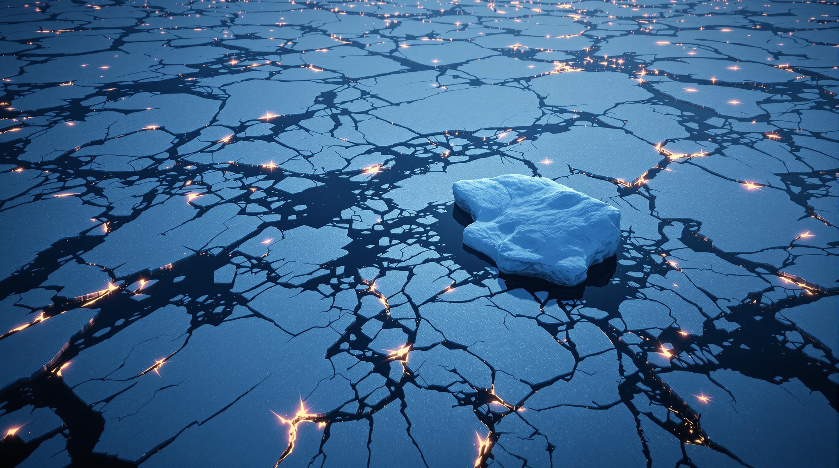
A decades-long trend levels off
For most of the satellite record, the Arctic sea ice melt season has been getting longer each year, with ice starting to melt earlier in spring and freezing later in fall. A NASA-led study covering 1979 to 2023 found that this lengthening trend unexpectedly stabilized around 2010. The melt season is now about 40 days longer than it was in 1979, but most of that increase happened before 2010, according to the study, published in Communications Earth & Environment.
Since 2010, the average melt season length has stayed roughly the same from year to year, even though individual years still swing widely. Linette Boisvert, a co-author of the study and an ice scientist at NASA's Goddard Space Flight Center, said the ice used to include more multiyear ice, ice that survives one or more summers without fully melting, which kept the melt season more predictable. With less of that thicker ice remaining, year-to-year variability has grown even as the long-term average has held steady.
Separately, NOAA's Climate.gov reports that the sea ice extent remaining at the end of each summer has also shown a similar pattern: after a record low in 2012, September ice extents remained relatively stable through 2024, with the trend since 2007 being essentially zero. But NOAA cautions that stability does not mean recovery. The last 18 September extents, from 2007 to 2024, were the 18 lowest in the satellite record, according to the 2024 Arctic Report Card cited by NOAA.
Sources 1, 2, 3
Measuring melt from space, and what drove the change
Researchers tracked the melt season using satellite instruments that detect microwave signals from the ice surface. Water in the snow covering sea ice changes how that surface emits microwave radiation, so satellites can pick out the date when melting begins each spring and when freezing resumes each fall, according to the Nature paper describing the method. The gap between those two dates is the melt season length.
The NASA study found the change was driven mainly by later freezing in autumn rather than earlier melting in spring. The Nature paper puts a number on this: freeze onset for the Arctic Ocean has been delayed by about 7.5 days per decade, adding up to roughly 34 days since 1979, while melt onset shifted earlier by a smaller amount, about 1.47 days per decade. Freeze onset has also become more variable since the 2010s, which the study links to the shift from ice dominated by multiyear ice to ice dominated by first-year ice, meaning ice less than one year old.
To understand why the freeze delay happened, the NASA team looked at the Arctic's energy balance, the difference between the heat arriving from the Sun, atmosphere, and ocean, and the heat radiating back out to space. During the rapid ice loss of the 2000s, less ice cover exposed more dark ocean water, which absorbed more sunlight than reflective ice would. That extra stored heat delayed freezing and extended the melt season, with the fastest-growing areas gaining up to 5 days of melt season per year during that decade, per NASA. Since 2010, changing cloud patterns have reduced the sunlight reaching parts of the Arctic Ocean, which the study links to the more modest, fluctuating pattern seen since.
Sources 1, 2
Thinner ice, same warming trend
The stabilization does not mean Arctic warming has paused. NASA's study notes the region continues to warm nearly four times faster than the global average, and the ice that remains is substantially thinner than it was decades ago. NOAA's account of long-term change reinforces this: near the start of the satellite era in the mid-1980s, as much as one-third of winter ice cover was thick multiyear ice; by 2020, it was down to 5 percent.
Because so much of the ice pack is now thin, first-year ice, the system has become more sensitive to short-term atmospheric conditions like storms, winds, and cloud cover, rather than following a steady long-term trajectory. Boisvert described this as melt season length becoming 'much more dependent on atmospheric effects,' because thinner ice is more vulnerable to begin with. NOAA separately notes that sea ice extent has declined about 5 times faster at the September summer minimum than at the March winter maximum, a difference tied to how much thick, multiyear ice has been lost.
This vulnerability has consequences beyond the ice itself. NOAA reports that reduced summer sea ice is linked to a 60% increase in ocean wave height between 1993 and 2018, and to coastal erosion projected between roughly 0.4 and 0.8 meters per year for every degree Celsius of warming by the end of the century, alongside disruptions to ice-dependent species and Arctic communities' traditional hunting and travel routes.
Sources 1, 2, 3
An open question
The NASA-led team cautions that the current stabilization could be temporary rather than a lasting shift. Thick, multiyear ice still persists year-round north of Greenland and the Canadian Arctic Archipelago. If that remaining thick ice keeps thinning, the study warns it could trigger another period of rapid sea ice loss that would extend the melt season further.
Researchers describe the Arctic as having entered a new phase in which annual weather patterns exert more influence over the melt season than they once did, rather than a return to the earlier, steadier decline. Whether the recent stabilization is a lasting change or a pause before renewed rapid loss remains an open question, according to the study, which is why the team emphasizes the need for continued satellite monitoring of both sea ice and the Arctic's energy balance.
Sources 1, 2